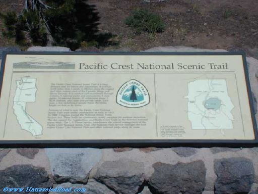
Pacific Crest National Scenic Trail
The Pacific Crest National Scenic Trail is a long-
distance trail for hikers and equestrians. It extends
2,638 miles from Canada to Mexico along the rugged
and often remote crest of the Cascade Range and
Sierra Nevada. It is marked and maintained through
3 states, 8 national parks and monuments, 5 state
parks, 24 national forests, 25 wilderness areas, 3
BLM districts, plus state and private lands. Each
year, a few determined people travel the entire
length on foot or by horse.
Portions of what is now the Pacific Crest National
Scenic Trail were under construction as early as 1915.
In 1968, Congress passed the National Scenic Trails
System Act. These trails are continuous, scenic corridors for outdoor recreation.
The Act named the Appalachain and Pacific Crest Trails as the first two national
scenic trails. The U.S. Forest Service coordinates the overall management of the
Pacific Crest National Scenic Trail. The National Park Service manages the trail
within Crate Lake National Park and other national parks along its route.
A 33-mile segment of the
Pacific Crest National Scenic
Trail winds through Crater
Lake National Park, passing
along the west side of Crater
Lake, through subapline
forests and pumice fields.